
The Gulf of Perudáya (in part)
Here is a close up of the Gulf of Perudáya in the immediate vicinity of Jakálla. I haven't done anything with the sandbanks beyond my initial sketches. I have added a couple of named places. It seems obvious that there must be a village or town at the the end of the sákbe road that is shown to the left in the above picture, and ferry service that runs from it across to Jakálla and back. I have named it "Ngálar Déka"; "Ngálar" is the name of the province on that side of the gulf and "déka" means boat in Tsolyáni, so it is "Ngálar Boat" (or ferry).
I have also assumed a ferry near the mouth of the Ranánga river which services the secondary road out of Pála Jakálla. I am utilizing a borrowed map of Pála Jakálla and this map has an eastern gate called the "Thráya Gate", presumably because the road leads to Thráya. So that leads me to assume a ferry to get travelers across the Ranánga in order to reach the sákbe road that runs east along roughly the same line as the river. I have decided that this is an old route and so come up with "Pála Dékakh", or "Yesterday's Boat" in Tsolyáni.
There is a sákbe road that crosses the Ranánga a little further up river. My assumption is that this ferry has been around longer than that one. Note that in both cases we are talking long periods of time, given the age of the Tsolyáni Empire. Also note that the route east of the Thráya Gate, across the ferry and hence onto the eastbound sákbe road is much quicker than following the road north out of Pála Jakálla and around. A canny merchant would know this while a stuffy noble might take the longer route (not that he would be walking!)
Getting back to the sandbanks, I did a bit of research before I sketched those bits in, going online and looking for Real World examples. I think I have found a good one in the Thames Estuary, as shown below:


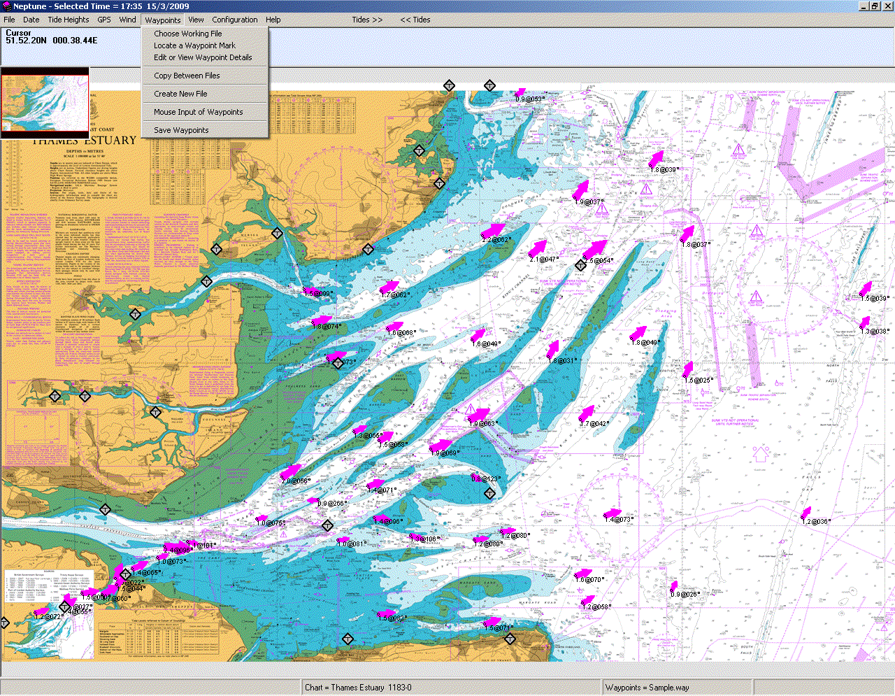
Note the scale. It is in Nautical Miles. A quick Google search reveals that 1 Nautical Mile is 1.852 Kilometers, or 1.15078 Miles. Then look at the map of the estuary again. Some of those sandbanks are 10 NM long! Those are the areas exposed at low tide. The second picture was an experiment I did, rotating it and imagining it as the Mssúma river. I've done quite a lot of research on the estuary, checking out old sailing books in my father's collection and the website of the local Sailing Association. The site for Land Information New Zealand provided some useful background about tides. And also a nifty chart showing the relative water levels of each tidal condition, if that is the right word, as well as a glossary of terms.
If you review the information you will see that the situation is, as they say, fluid. ;-) Once or twice a day - and that is a topic in and of itself - the tide come in and then go out again, hiding and exposing wide expanses of sand. And keep in mind that Tékumel has two moons which must complicate the situation even more. And then add in the seasonal rains and floods and one realizes that much of the land around the Gulf of Perudáya must be very changeable in nature, at least on the western shore where lie the Tsechélnu Flats, and the north shore which forms the Mssúma river delta. The eastern shores have a different character, as shown by the green used for them on the Swords and Glory map.

Progress so far...
No comments:
Post a Comment