
The Mssúma River Watershed (approximate)
Continuing my exploration of Tsolyánu's geography, I have been looking at various Real World rivers in order to get a better understanding of what the mighty Mssúma River would look like up close. Shown above is the Mssúma River and its tributaries. Hopefully the bits I did with yellow highlighter are visible when you click on the pic! What I did was examine the map and try and decide where the rivers would flow from - including all the small tributaries not shown on the main maps. I drew lines to represent the high points of land such as that between the Ranánga and Eqúnoyel rivers. I also drew in some smaller tributaries just for fun.
In AutoCAD one can use polylines to enclose areas and a quick right-click look at the properties of the line will give the area enclosed. So I drew a polyline that approximately enclosed the same area outlined in yellow highlighter in the picture above. This gave an area of 1,505,289.25 square kilometers.
A quick Google search reveals the watersheds of some major RW rivers:
The Indus River: 1,165,000 sq km;
The Ganges/Brahmaputra river basin: 1.7 million sq km;
The Mississippi River: 2,981,076 sq km.
I have been looking closely at the Indus and Ganges/Brahmaputra rivers at least in part because of the time I know Professor Barker spent in the region. Shown below are some clippings from maps of the Indus river.


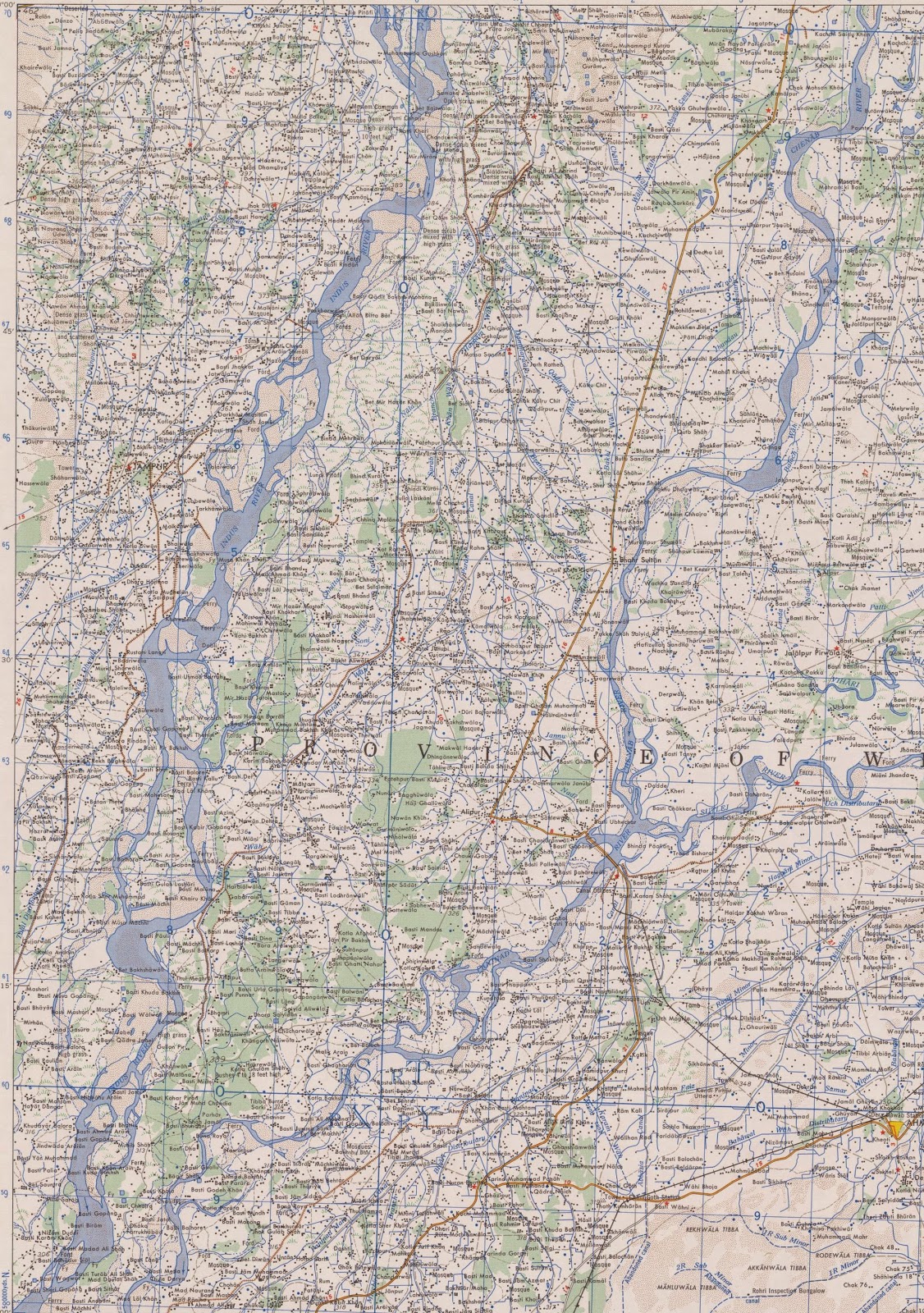

These I found in a collection of 1:250,000 scale maps of India and Pakistan at the University of Texas. I've downloaded all the maps and have been poring with interest over them, giving special attention to the rivers and coastal areas.

No comments:
Post a Comment